Experiments
Realtime Transit Map
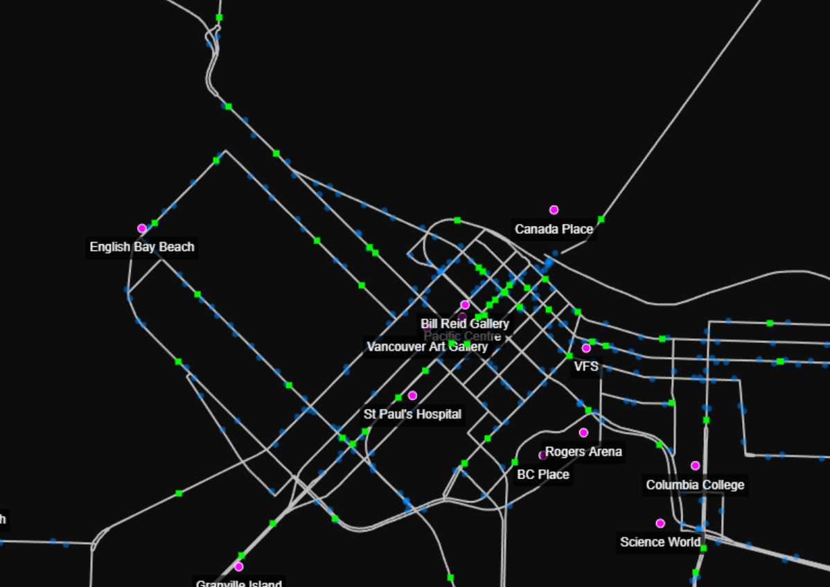
View Realtime transit positions here
This webapp shows the realtime positions of all translink vehicles updating their positions once per second. It is based on schedule and not the actual position from GPS. It's approximately where they should based on the times they are scheduled to be at each stop. Buses are green, stops are blue, points-of-interest are purple and routes are white. You can click on a bus to see all the stop on it's trip, which will turn red. Clicking on a bus also shows information about it such as the route name and the buses (estimated) GPS position. The map supports pan and zoom.
Gesture Recognition
This is a demonstration of gesture recognition using a sequence of complex numbers to represent strokes. Using complex numbers has some amazing features since correlation results are scale and rotational invariance. Very useful for gesture recognition making matches fast and easy. The article about it is here - Gesture Recognition